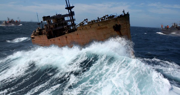
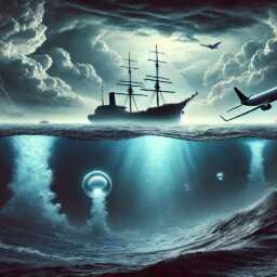
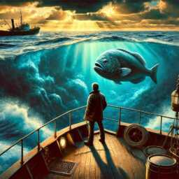
The Cuban Coast Guard announced this morning, that they had intercepted an unmanned ship heading for the island, which is presumed to be the SS Cotopaxi, a tramp steamer which vanished in December 1925 and has since been connected to the legend of the Bermuda Triangle […]
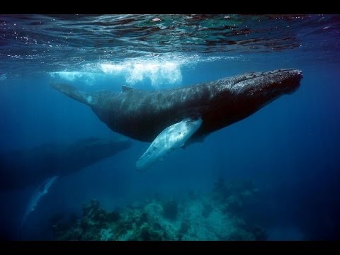
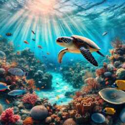
Bermuda has long been known for spectacular humpback whale watching opportunities. In the late winter and early spring, a humpback parade passes through the waters near the island as these magnificent mammals travel to their northern feeding grounds.
You can sometimes spot humpbacks from land, but the best way to get up-close-and-personal is to head for the open seas. You’ll sail miles out, spotting humpbacks from the deck, or in some cases, a glass-bottomed hull. Bermuda’s sparkling turquoise waters are even more crystal clear than usual this time of year, offering superb visibility, with depths of up to 100 feet below the surface.
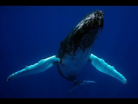
You don’t necessarily need to see into the depths, though — humpback whales sometimes launch themselves right out of the water in a behavior called breaching. Breaching may be a way to loosen skin parasites – but some scientists think humpbacks are just doing it for fun.
Bermuda offers a wide variety of whale watching tours — check out some of your options at gotobermuda.com/Whale-Watching
Infamous disappearances of ships and aircrafts, stories of lives lost — they’re all part of the legend of the 500,000-square-mile expanse of the Atlantic Ocean known as the Bermuda Triangle. In this one-hour special, National Geographic Channel explores the area’s ominous reputation by draining the water from it to see what exactly lies below the surface of the mythical triangle. With the aid of data from sophisticated sonar surveys, see what the ocean floor looks like below the Bermuda Triangle. Witness what strange geological features will be revealed and whether they will shed light on the mysterious occurrences that have been documented within the boundaries of this area of ocean.
The Bermuda Triangle, also known as the Devil’s Triangle, is a loosely defined region in the western part of the North Atlantic Ocean, where a number of aircraft and ships are said to have disappeared under mysterious circumstances. According to the US Navy, the triangle does not exist, and the name is not recognized by the US Board on Geographic Names. Popular culture has attributed various disappearances to the paranormal or activity by extraterrestrial beings. Documented evidence indicates that a significant percentage of the incidents were spurious, inaccurately reported, or embellished by later authors. In a 2013 study, the World Wide Fund for Nature identified the world’s 10 most dangerous waters for shipping, but the Bermuda Triangle was not among them
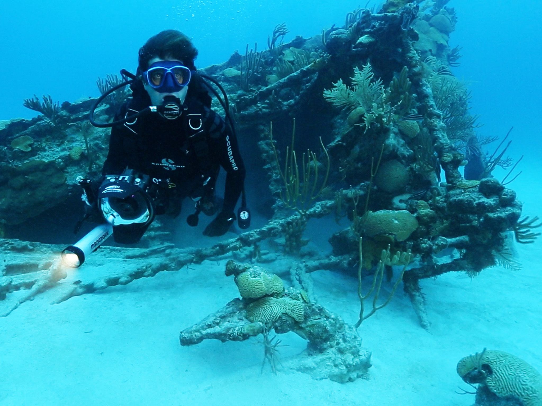
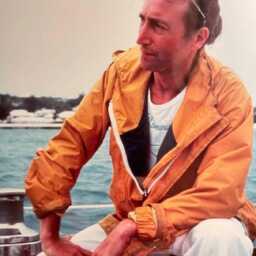
8 JUNE 2015 – Bermuda: Contributor Dr. Philippe Rouja swimming off of the bow of the Mary Celestia.- Mallinson Sadler Productions/Dan Stevenson)
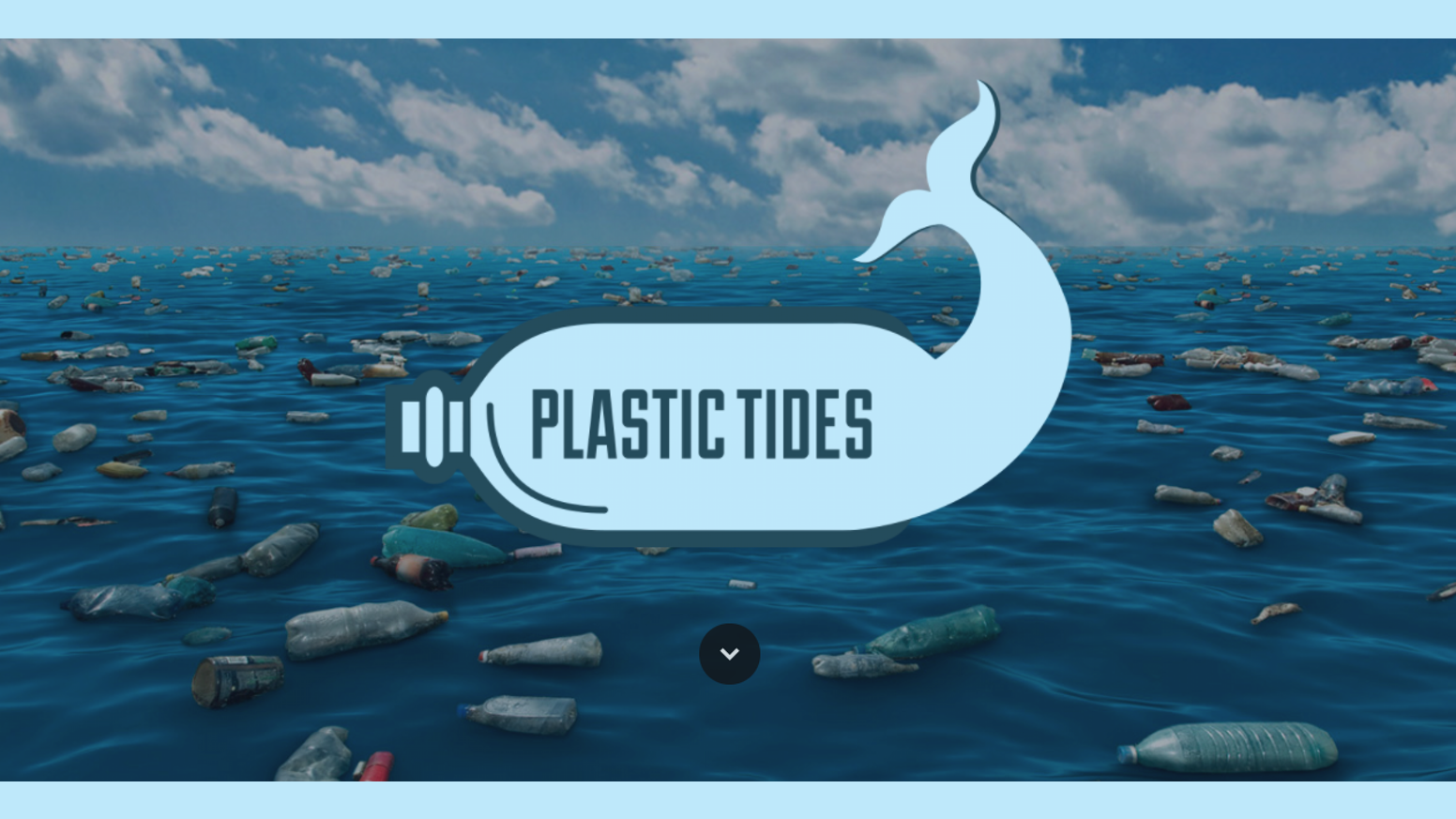
Four people paddleboard around Bermuda for ten days. Their plan? Expose the rampant plastic pollution that threatens Bermuda and the unique and fragile ecosystem of the Sargasso Sea.
Episode 2 – The gang take their first water sample, talk about plastic trash they found on the beach, and find themselves in a gnarly situation out on the water.
Episode 3 – A reef catches Gordon off guard and a camera is lost to Davy Jones’ Locker, but thanks to some quick thinking and ingenuity, the team is able to fix the the board and move on with the expedition. The next day, they take their first trawl sample, using the first-of-its-kind manta trawl designed by the wonderful scientists at the Plastic Ocean Project based out of Wilmington. Dr. Robbie Smith weighs in on plastic pollution and its effects on the delicate ecosystem in the Sargassum Sea.
Episode 4 -The final installation of the Bermuda four-part series. The Plastic Tides gang continue there journey around the island paradise. They collect samples, encounter a brutal headwind that forces them to go through St. George’s, speak with the kids that will change the future, are followed by fierce-some sharks, and push through a final headwind for the last 3 miles of the journey.
The Plastic Tides Team is composed of four young adventure conservationists aiming to raise awareness of plastic pollution. The standup paddleboards serve as a home and as a vehicle for scientific data collection – a novel approach to this pervasive problem.
The Team: Gordon Middleton, Christian Shaw, Celine Jennison, Julian Rodriguez
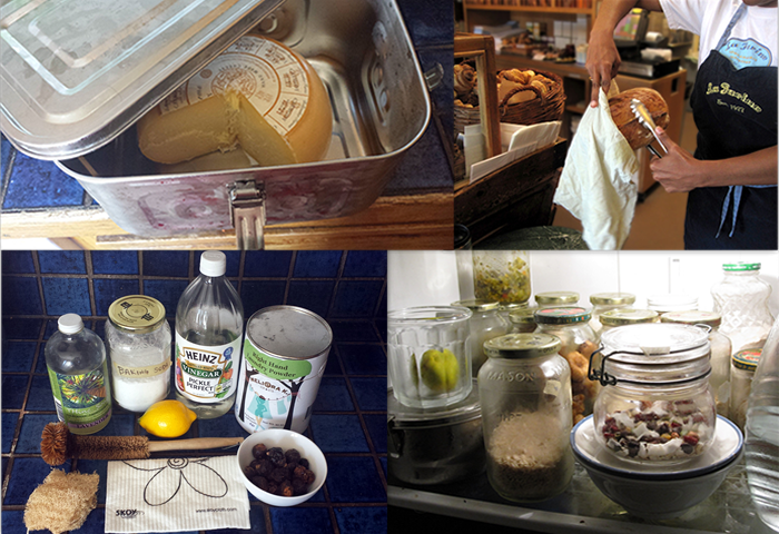
100 Steps to a Plastic-Free Life – Do you think it’s possible to live life without plastic? Or to at least live with less of it? Check out this list of plastic-free and less plastic alternatives and see for yourself!
Citizen scientists survey coral reefs located across the entire Bermuda lagoon. Information is collected on reef environmental conditions, the status of fish population and on the condition of sessile and mobile reef organisms such as hard corals and lobsters. By surveying again in subsequent years we hope to provide a public source of information on the condition of our vital coral reef habitats and the fishes they support. – Bermuda Bream
A mother and her calf take refuge in shallow water but then the calf makes a turn into a cull de sac of coral heads and the two whales must exit in shallow water over the coral
Transforming the fields of oceanography, marine science, and ocean health through a blend of cutting edge research, comprehensive educational experiences and a commitment to sharing knowledge internationally.
Every once in a while I have a close encounter with humpbacks. These encounters are always on the whales’ terms. They come to the boat, the engine is off, and I am completely passive. Over time they can become increasingly curious. This encounter was the better part of three hours and by the end they were literally sticking their noses in my face. The camera shake is because I was so cold! Most of my footage is taken with a heavy Gates housing and the rig weighs around 60 pounds which is like having a tripod. This lightweight Sony camera isn’t so stable in the hands of a shivering cameraman. On the other hand, I might not have been able to swim for three hours with a heavy Gates in my hands. – Andrew Stevenson
In September 2012 Google, a founding partner of the XL Catlin Seaview Survey announced that they were taking their streetview platform “underwater”. In February 2014, at The Economist World Ocean Summit in San Francisco, Catlin Seaview Survey premiered this short video which celebrates the work the team have done to date.
19 countries, countless dives and 1 million images, and to think – we’re just getting started!
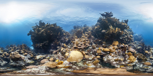
Documenting Bermuda’s Reefs: The XL Catlin Seaview Survey
The XL Catlin Seaview Survey, a project focused on documenting the health of coral reefs globally, included survey work around Bermuda. This initiative, a collaboration between Underwater Earth, The University of Queensland, and XL Catlin (now AXA XL), aimed to establish a baseline record of coral reef conditions.
A key component of the survey was the use of specialized underwater camera systems to capture 360-degree imagery. This data was then utilized to assess reef health and monitor changes over time.
Notably, the survey partnered with Google to make the captured imagery accessible through platforms like Google Street View. This collaboration allowed for wider dissemination of the survey’s findings and provided a virtual means of exploring coral reefs, including those surrounding Bermuda.
The survey work conducted in Bermuda contributed to the broader global dataset, providing information on the state of local reef ecosystems. This data is available through the Global Reef Record, serving as a resource for researchers and conservation efforts.
In addition to the general Seaview Survey, XL Catlin also supported the Nekton Deep Ocean Survey, which focused on the deeper waters surrounding Bermuda. This separate initiative explored the biodiversity of the deep-sea environment. The 2 surveys should not be confused.
The XL Catlin Seaview Survey’s work in Bermuda, in conjunction with Google’s platform, provided a valuable contribution to the ongoing documentation and monitoring of coral reef ecosystems.
Emily’s Pinnacles – Impressive hard coral formations found here provide the building blocks for the reef
Catlin Seaview Survey – The Mission: To record, research and reveal the world’s coral reefs to all in high-resolution, 360-degree panoramic vision. Virtual Dives in Google Maps